Introduction
Perak began growing rapidly a century ago, thanks to its thriving tin-mining industry. After the industry declined in the 1980s, the Perak government began diversifying the state’s economy into other sectors such as the manufacturing industry. Today, Perak is one of the most economically active states in Malaysia. It has built a strong industrial foundation, relying on manufacturing as a robust engine of growth.
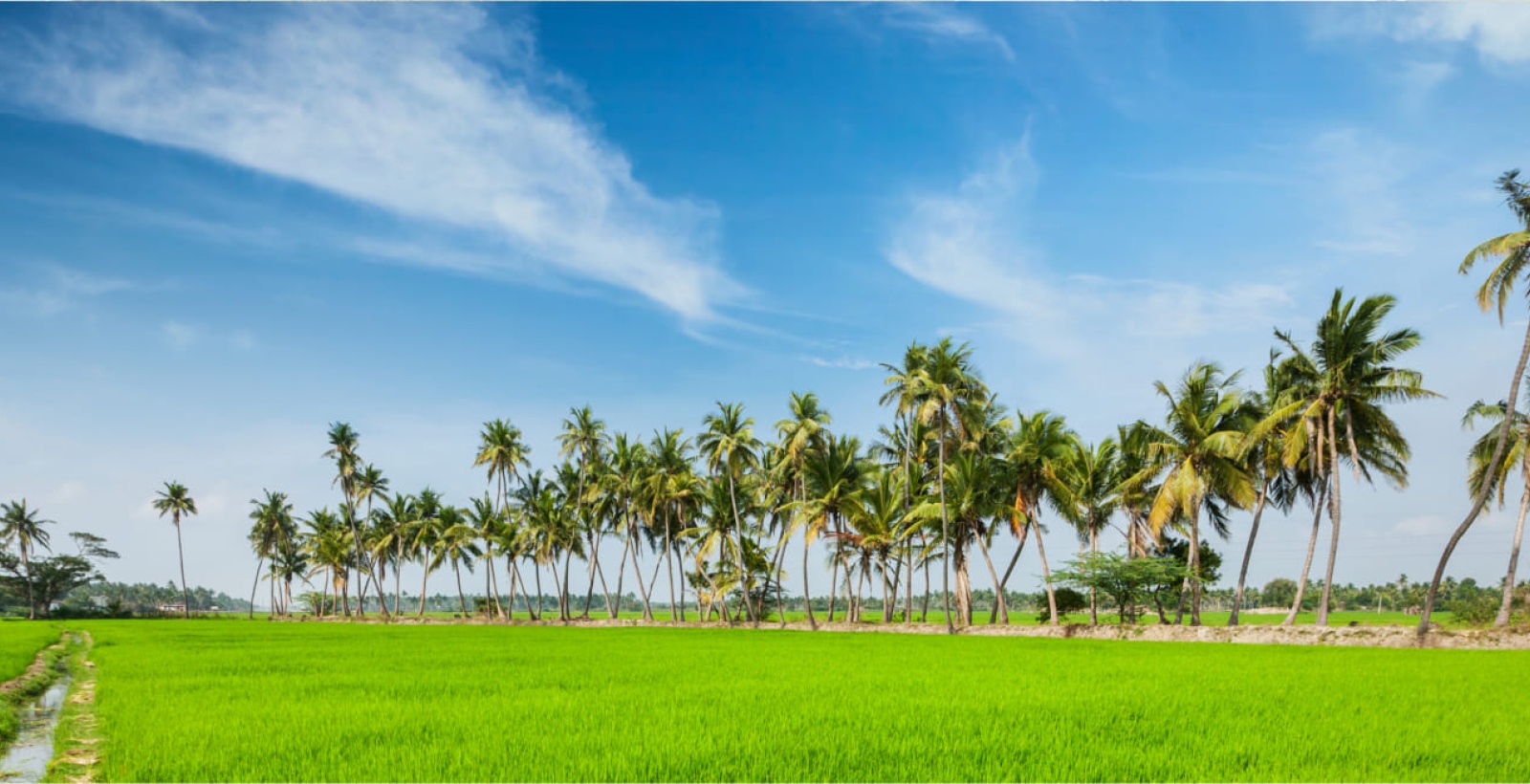
Moving forward, the state is diversifying its industrial portfolio to include other economic verticals such as electrical & electronics (E&E) products, global business solutions (GBS), digital economy as well as logistics and transport equipment. Perak is also blessed with tropical forests rich in biodiversity, so emphasis will also be given to unlocking the potential of the state’s heritage and eco-based tourism attractions.
Key Economic Activities

Services
- Digital Economy (Creative Industry, Global Business Services)
- Education
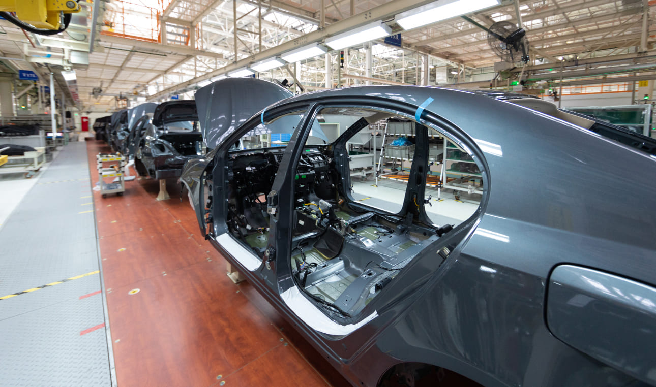
Manufacturing
- Automotive
- High Tech Manufacturing
- Heavy Industries

Agriculture
- Aquaculture
- Cash Crops
- NCER Agro Economic Zone (NAEZ)
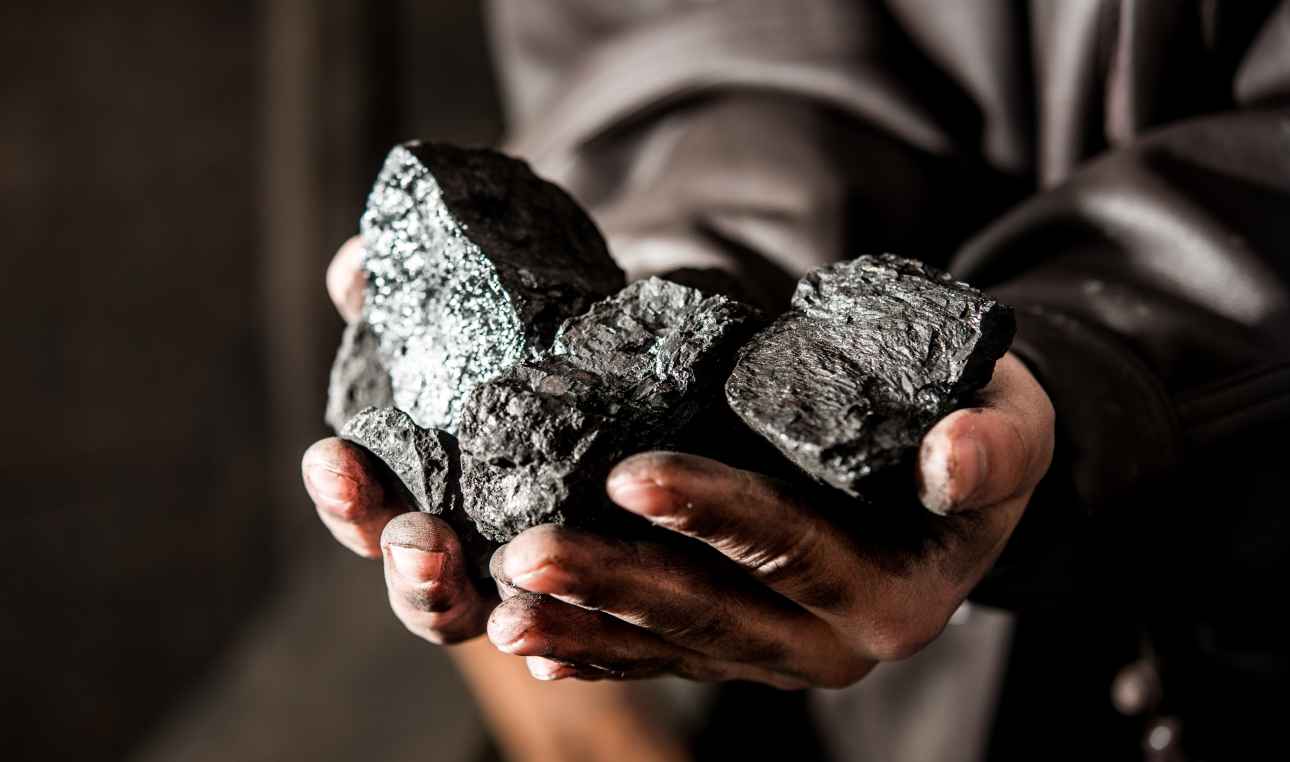
Mining & Quarrying
- Sustainable Mining and Downstream Activities

Tourism
- Archaeotourism
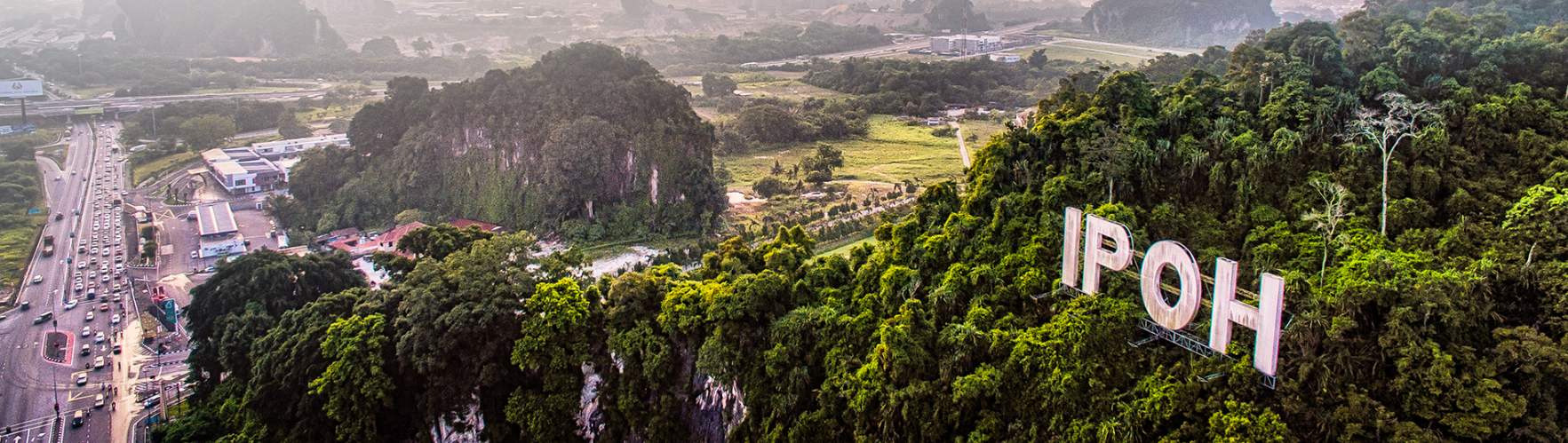
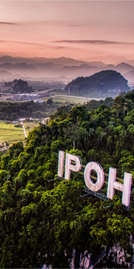
- Geotourism
- Ecotourism
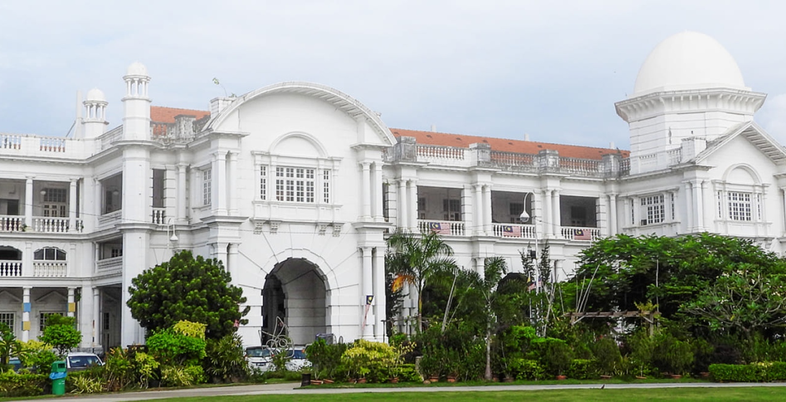
- Heritage Tourism
Development Framework
The NCER Strategic Development Plan for Perak is aligned with the state’s Perak 2040 Development Plan. Several key priority sectors have been identified to leverage on the state’s value propositions, comprising:

Ecotourism

Heritage Tourism

Modern Agribusiness

Automotive

Economic Hub for Creative Industries